PLOTS Balloon Mapping - ChurchMag
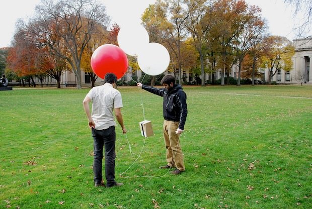
We’re all used to using Google and Bing Maps to see amazing aerial photos of places all over the world. But now, ‘The Public Laboratory for Open Technology and Science (PLOTS)’ have created an open source way of taking aerial photos (or even video!) that doesn’t break the bank! The Public Laboratory for Open Technology and […]
James Cooper